Zanja Peak Trail
Stats:
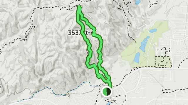
4.2mi - Length
1,213ft - Elevation gain
2h 29m - Estimated time Loop
Experience this 4.2-mile loop trail near Yucaipa, California. Generally considered a challenging route, it takes an average of 2 h 29 min to complete.
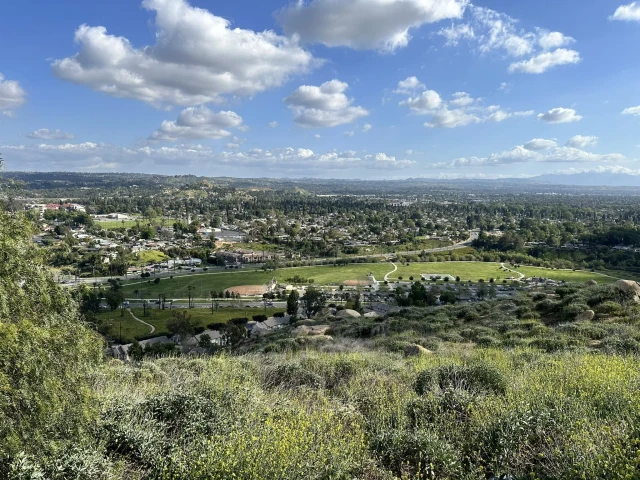
This is a very popular area for birding, hiking, and mountain biking, so you'll likely encounter other people while exploring.
Learn more from Alltrails.com
Parking Information:
34900 Oak Glen Rd.
Yucaipa, CA 92399
08:30 am - 11:30 am
Every Saturday
Park at the Yucaipa Community Center.
- Public Bathroom at Community Center